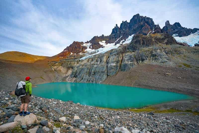
Nestled in the heart of Chilean Patagonia, the Cerro Castillo Trek is a breathtaking adventure that rivals the famous Torres del Paine but with fewer crowds. This challenging […]

Ojos del Salado Climb: Conquering the World’s Highest Active Volcano
Ojos del Salado, located in the Andes mountain range on the border between Chile and Argentina, is the world’s highest active volcano, standing at an impressive 6,893 meters […]
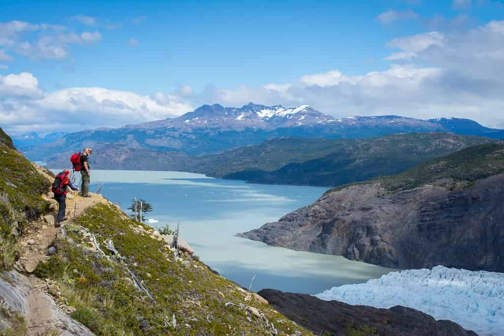
Exploring the Torres del Paine Circuit: A Trekker’s Paradise
Nestled in the heart of Chilean Patagonia, the Torres del Paine Circuit, also known as the O Circuit, is one of the most breathtaking and challenging trekking routes […]
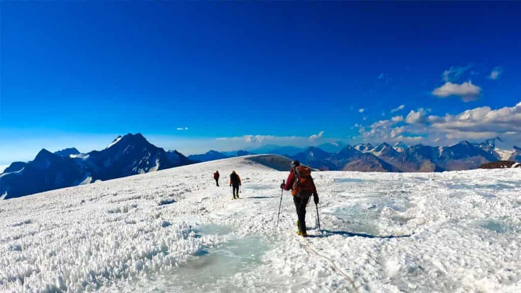
Mountain Routes in Chile: A Guide to the Best Trails
Chile is a paradise for mountain lovers, boasting a diverse range of landscapes that include the Andes, volcanoes, glaciers, and remote highlands. From Patagonia in the south to […]
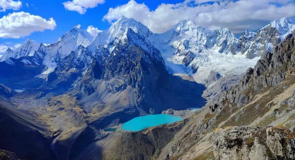
Cordillera Huayhuash: A Trekker’s Paradise in the Heart of the Peruvian Andes
The Cordillera Huayhuash, located in the central Peruvian Andes, is celebrated as one of the world’s premier destinations for trekking and mountaineering. This majestic mountain range, though less […]
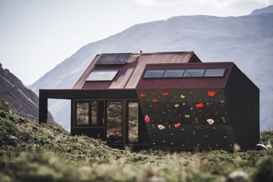
The Inauguration of the Volcán Tupungato Refuge: A Landmark for Mountain Tourism in Chile
On Monday, January 20, a historic milestone was reached for mountain tourism in Chile: the long-awaited inauguration of the Volcán Tupungato Refuge (6,570m), located in the Colorado River […]
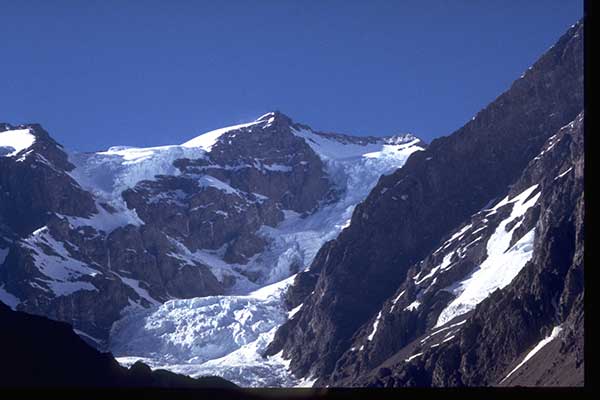
Nevado Juncal: A Majestic Andean Treasure
Nestled in the heart of the Andes Mountains, Nevado Juncal stands as a breathtaking natural wonder. Located on the border between Chile and Argentina, this imposing glacier-covered peak […]
Cerro Marmolejo: The Southernmost 6,000-Meter Peak in the World
Cerro Marmolejo is a towering peak that rises majestically in the Andes Mountains, marking the natural border between Chile and Argentina. At an impressive elevation of approximately 6,108 […]